
Do you have photos or documents of the Barrington area to share?
Send them to Dalia at dmills@balibrary.org.



Yesterday & Today: Life in the Barrington Area
Fall Is In the Barrington Air
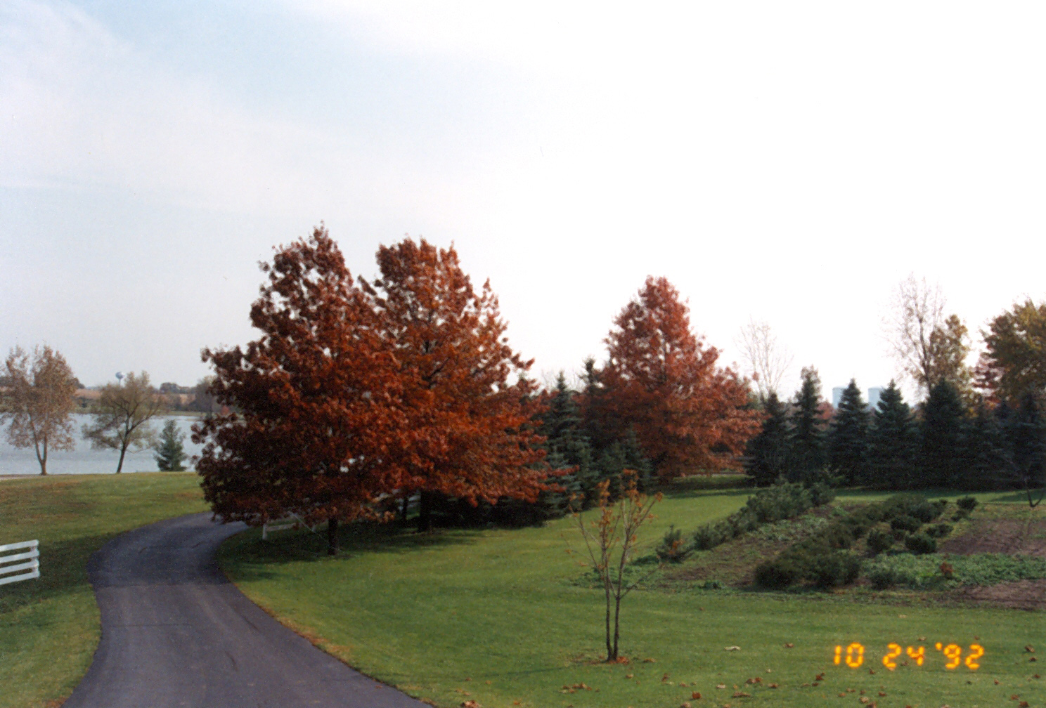
As Fall begins with cold weather and Autumn festivals, we can see some trees start to transform into a variety of beautiful colors. This photograph taken on October 24, 1992 of Lake Adalyn in South Barrington starts to show some red and orange leaves on the trees. Located to the east of what was Millrose Farm, Lake Adalyn was named after Bill Rose's mother. Bill Rose is considered the founding father of South Barrington and was the owner of Rose Packing Company. If you're interested in learning more about Bill Rose and the Rose family legacy, you can come in and meet with me or check out some of the thousands of photographs donated by the Rose family on our Flickr page that can be viewed online.
This photo is courtesy of the Rose family. If you have any photos to share, please contact Dalia Mills at dmills@balibrary.org