
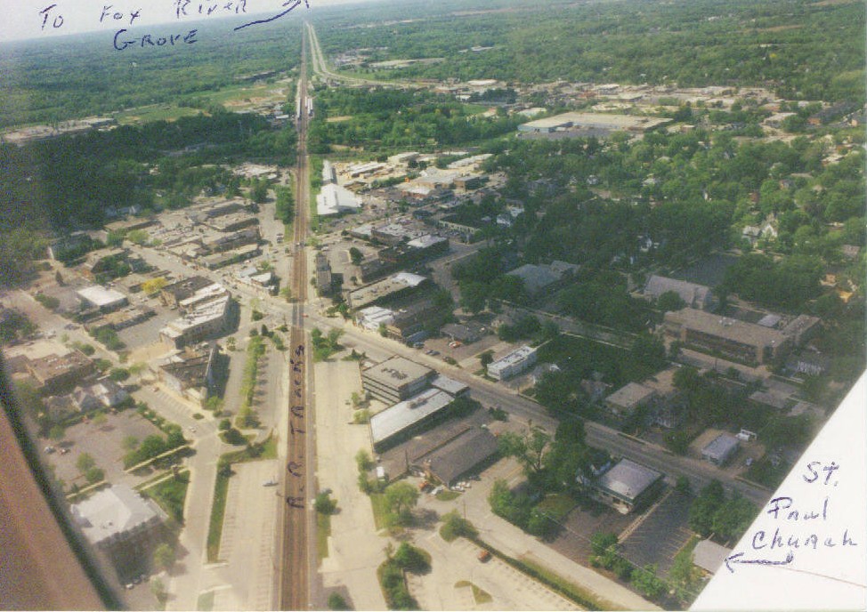
Ever wondered what downtown Barrington looks like from above? Photograph shows East Main St. and railroad tracks with a view of the Northwest Highway near the top. Railroad tracks, St. Paul's Church, and Fox River Grove mentioned in photograph and added by Paul Thompson in pen. This photograph was taken in May of 1993, so business and buildings may have changed.
This photo is courtesy of Paul Thompson, who took aerial photographs of all of Barrington in Louie Bos's plane. If you have any photos to share, please contact Dalia Mills at dmills@balibrary.org